The General Authority for Meteorology revealed that the recent landslides in Tarsin village were not random natural events. A 42-year analysis of satellite data showed the area has repeatedly faced conditions that make landslides inevitable, officials said.
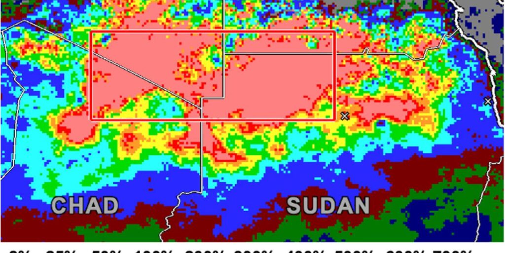
The authority highlighted that over half of the region’s strongest recorded storms have directly impacted the area in recent history. Saturated soil combined with exceptionally concentrated rainfall over the Jebel Marra region further intensified the risk, the statement explained.
Meteorologists warned that the precise and sharp focus of the heaviest downpours on this terrain significantly amplifies landslide dangers. Residents and local authorities have been urged to heighten preparedness and monitor rainfall patterns closely to mitigate future disasters.
The findings underscore the growing impact of extreme weather events on vulnerable communities in mountainous regions like Tarsin. Scientists say this analysis could help predict similar disasters elsewhere, using satellite data to guide emergency planning and safety measures.
The authority called for urgent attention to environmental management and infrastructure adaptation to reduce landslide risks in storm-prone areas.